How Do Meteorologists Predict Floods?
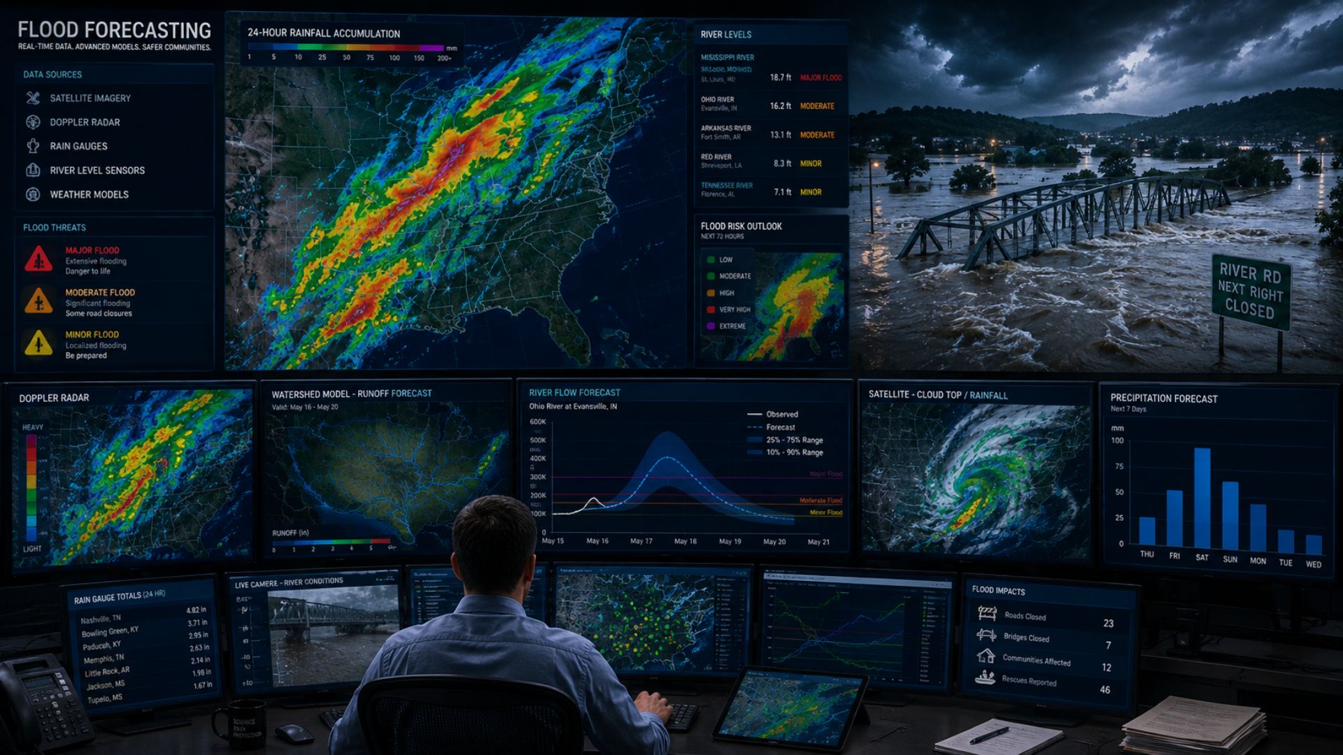
Meteorologists predict floods by combining rainfall forecasts with river levels, soil conditions, runoff data, radar, and hydrologic models to identify areas at risk.

Meteorologists predict floods by combining rainfall forecasts with river levels, soil conditions, runoff data, radar, and hydrologic models to identify areas at risk.

Meteorologists predict wind by analyzing air pressure, atmospheric circulation, and wind measurements, then using computer models to forecast wind speed and direction.
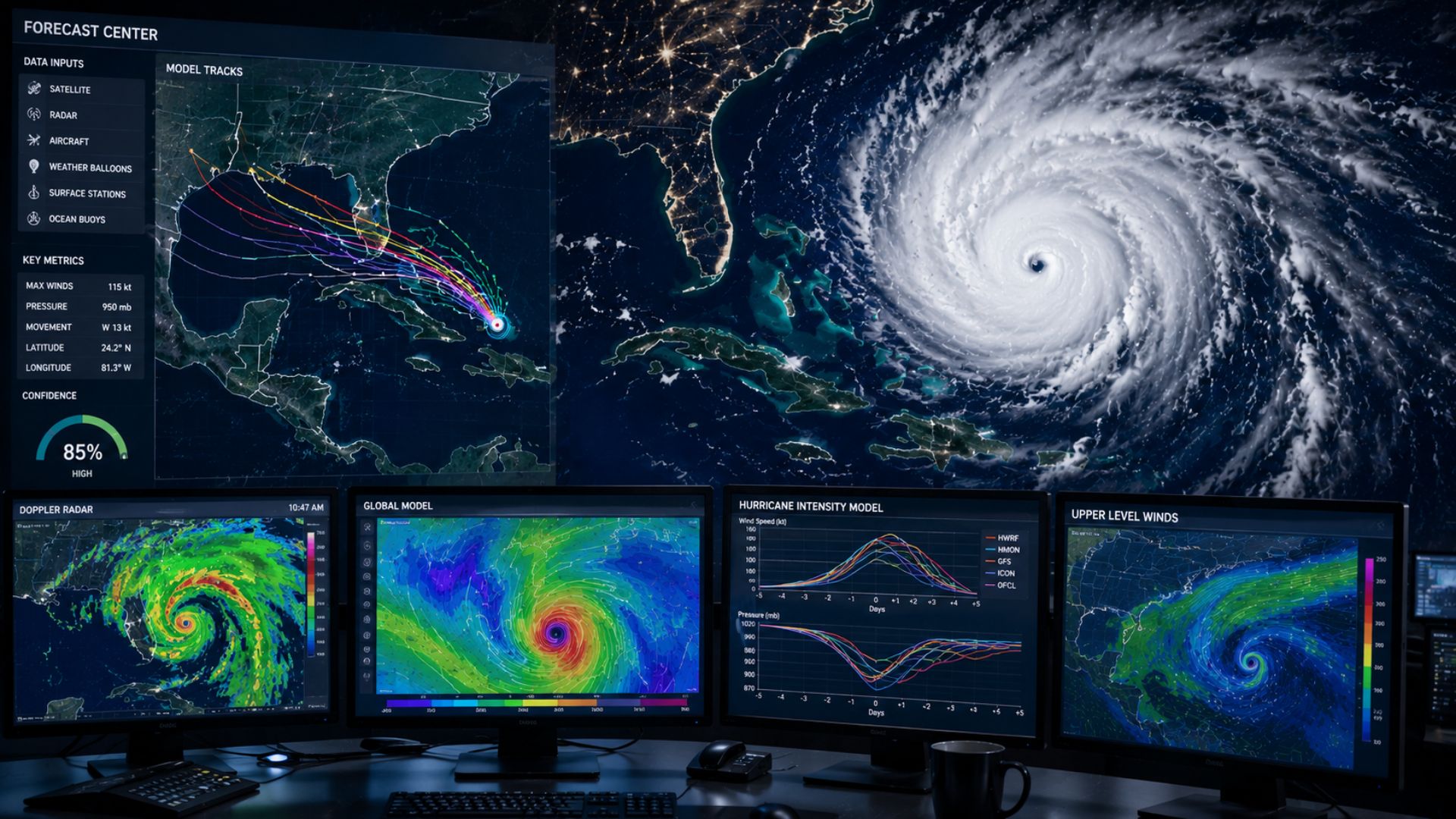
Meteorologists predict hurricanes by combining satellite, aircraft, radar, ocean, and atmospheric observations with computer models to forecast a storm’s track and intensity.

Meteorologists predict thunderstorms by looking for moisture, instability, and rising air while using weather models, radar, satellites, and atmospheric observations to track storm development.
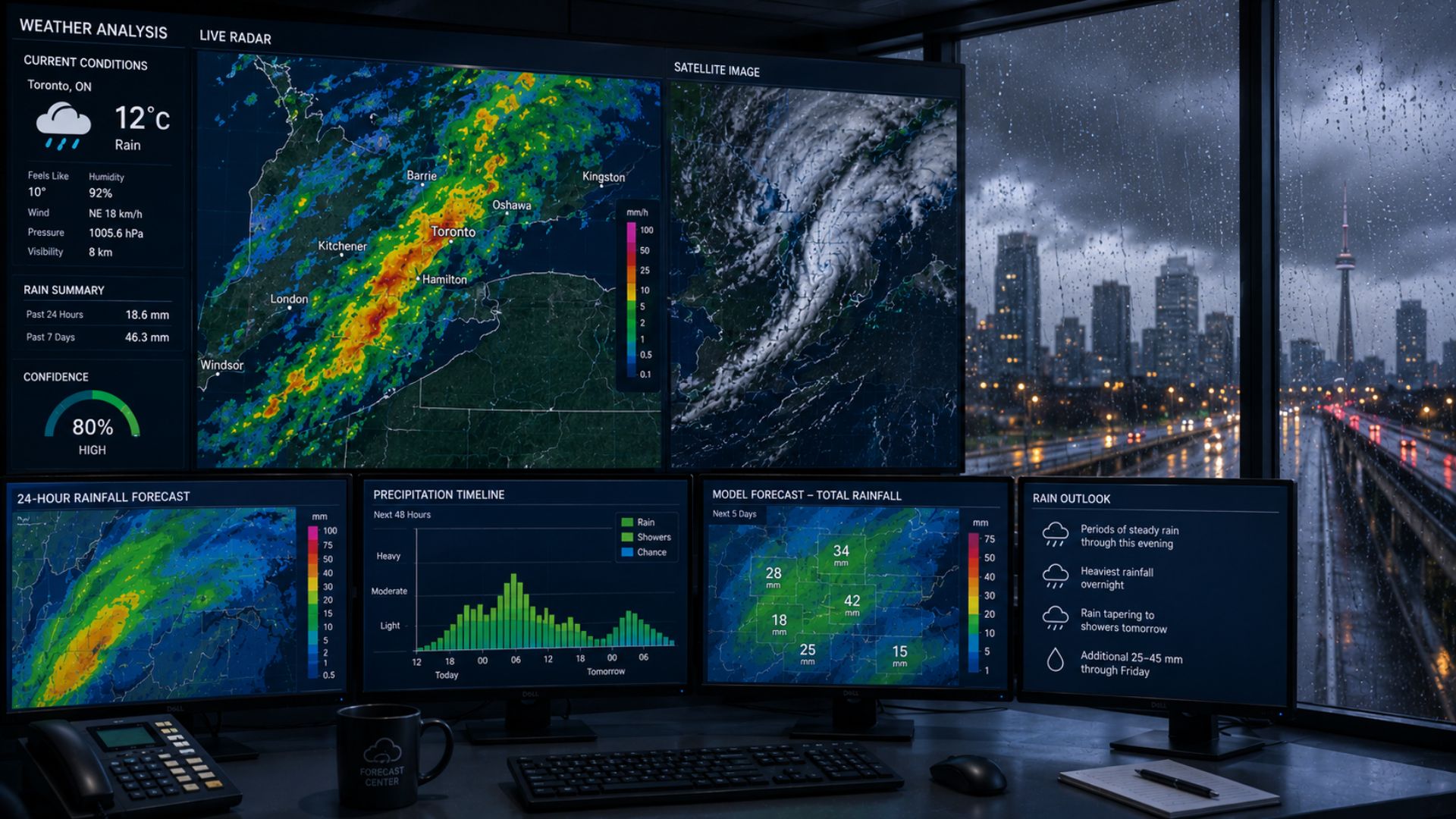
Meteorologists predict rain by analyzing atmospheric moisture, temperature, pressure, and rising air using weather models, radar, satellites, and surface observations.
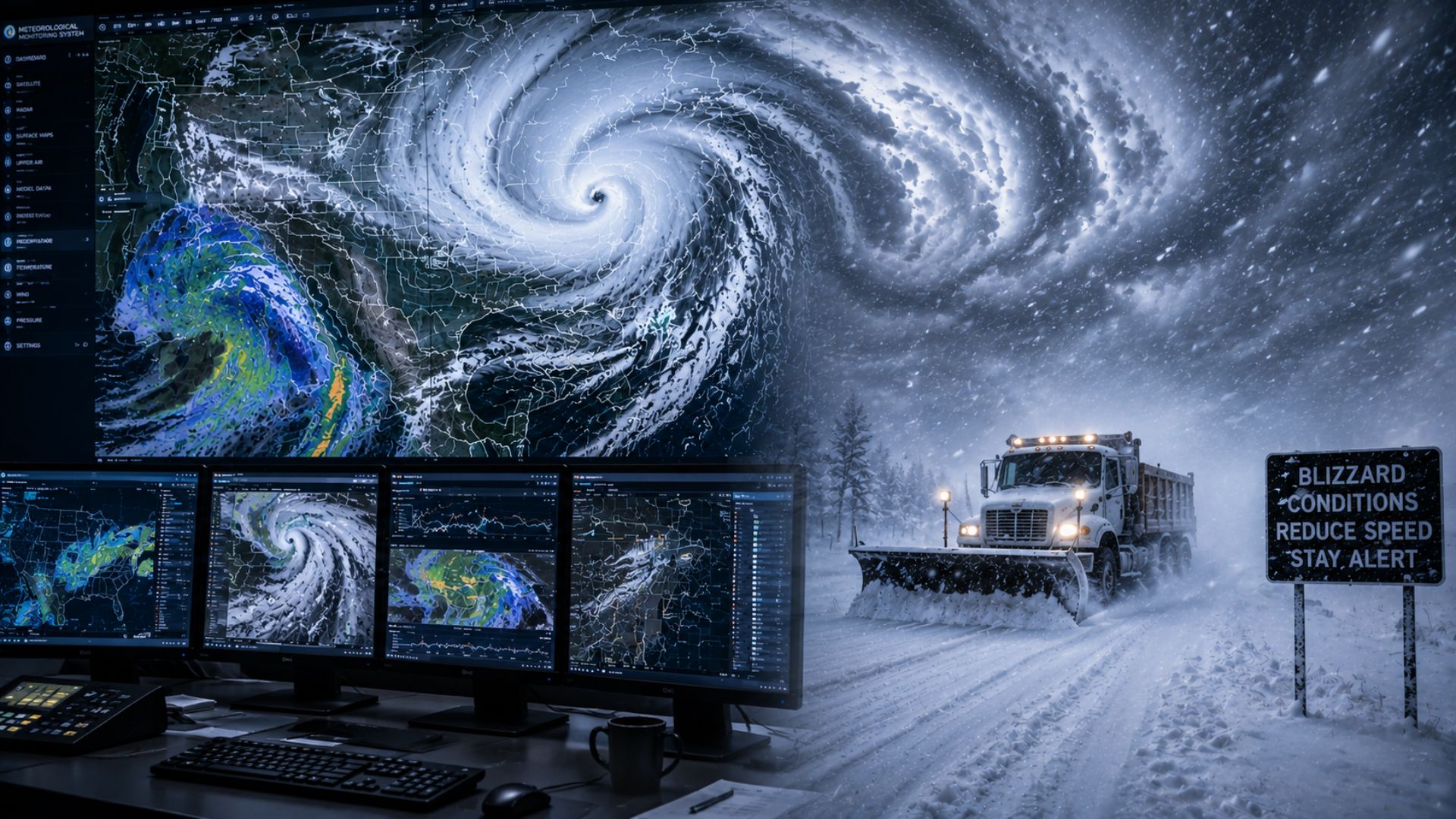
Meteorologists predict blizzards by analyzing snowfall, wind speeds, visibility, storm tracks, and atmospheric conditions using weather models, radar, satellites, and observations.
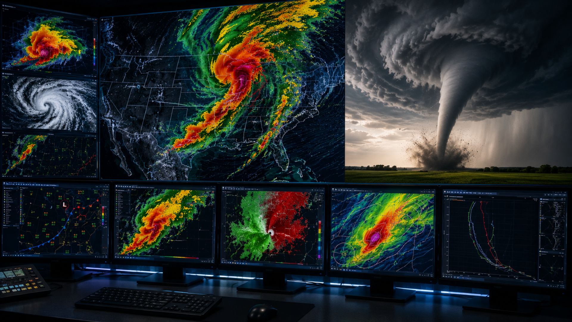
Meteorologists predict tornadoes by identifying atmospheric conditions that favour severe thunderstorms, including instability, moisture, wind shear and lift. Computer forecast models can highlight areas at risk days in advance, while satellites, weather observations and Doppler radar help meteorologists track developing storms. As thunderstorms form, Doppler radar can detect rotation that may indicate a tornado is developing or already occurring.
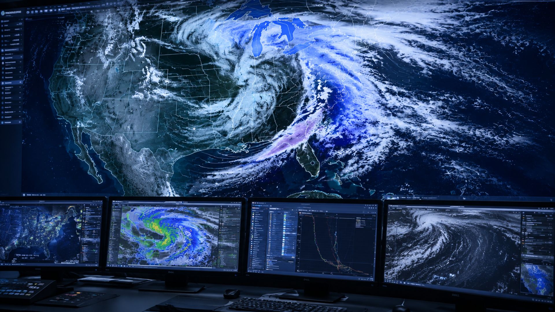
Meteorologists predict snow by analyzing temperature, moisture, atmospheric conditions, and weather models. Here’s how forecasters determine when snow could fall and how much may accumulate.