
Meteorologists predict snow by combining observations of the atmosphere with computer forecast models. They look at factors such as temperature, moisture, air pressure, wind patterns, and the structure of the atmosphere to determine whether precipitation will fall as snow and how much could accumulate.
Predicting snow is more complicated than simply checking whether the temperature at the ground is below 0°C. Conditions from the clouds all the way to the surface can affect whether precipitation reaches the ground as snow, rain, freezing rain, or a mixture of precipitation types.
How Do Meteorologists Know When It Will Snow?
To predict snow, meteorologists first need to determine whether a weather system will produce precipitation and whether the atmosphere will be cold enough for that precipitation to remain frozen as it falls.
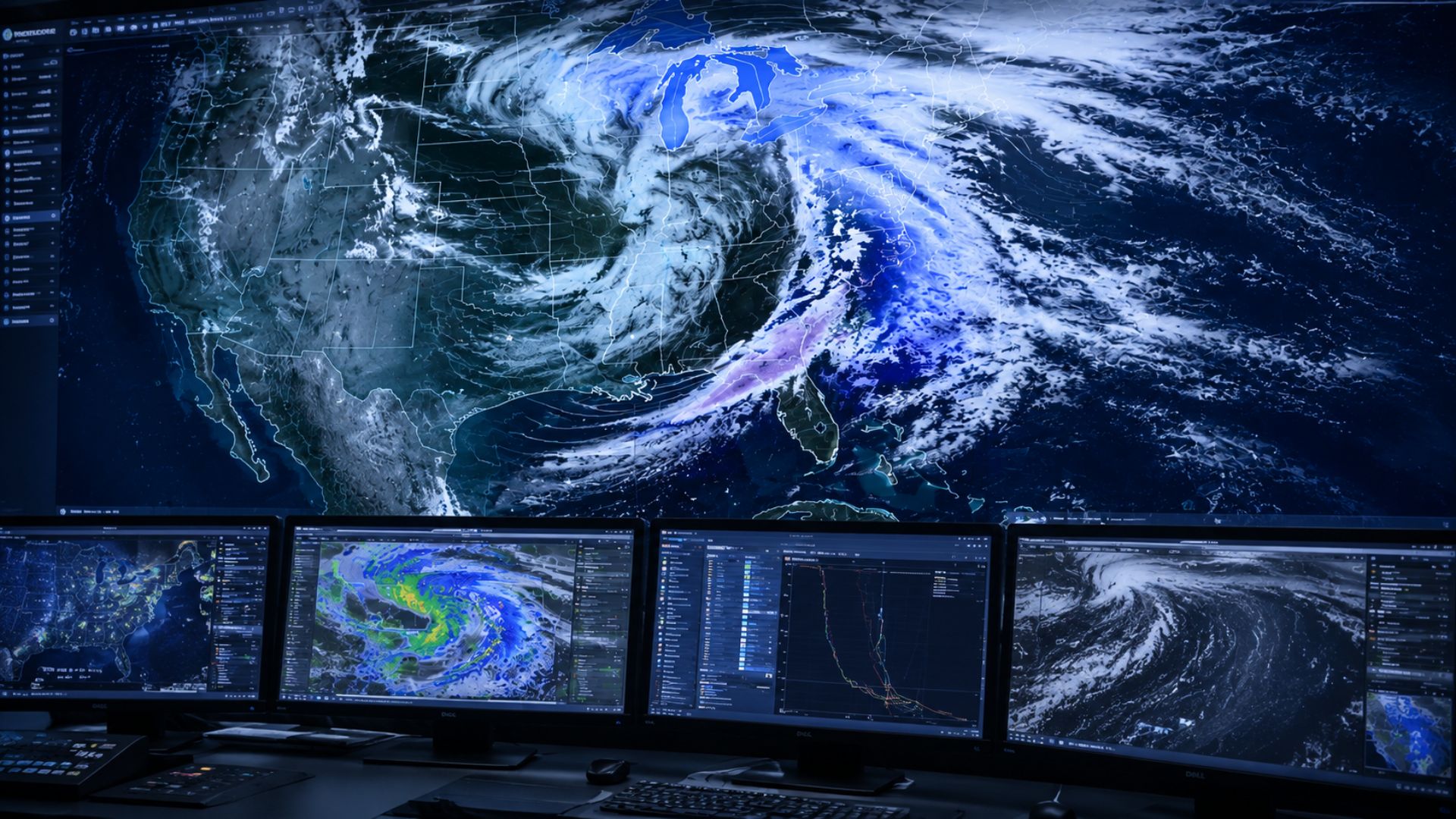
Forecasters use weather stations, satellites, radar, weather balloons, and other observing systems to measure what is happening in the atmosphere. These observations are then combined with numerical weather prediction models that simulate how atmospheric conditions are expected to change.
Meteorologists generally look for three important ingredients:
- Moisture: There needs to be enough water vapour in the atmosphere to produce clouds and precipitation.
- Cold air: A sufficiently cold layer of air must exist for snowflakes to form and survive their journey toward the ground.
- Lift: Air needs to rise and cool, allowing moisture to condense and eventually produce precipitation.
When these ingredients come together, snow becomes possible.
What Do Meteorologists Use to Predict Snow?
There is no single instrument that tells meteorologists exactly when or how much it will snow. Instead, forecasters compare information from several different sources.
Weather Models
Computer weather models are one of the most important tools used to forecast snow.
These models divide the atmosphere into a three-dimensional grid and use mathematical equations to simulate how temperature, pressure, moisture, wind, and other atmospheric conditions could evolve.
Meteorologists typically compare multiple models rather than relying on a single forecast. If several models show a similar storm track, timing, and precipitation pattern, confidence in the forecast may increase.
Models can help forecasters estimate:
- Where precipitation may develop
- When precipitation may begin and end
- The expected storm track
- Atmospheric temperatures
- Precipitation amounts
- Wind direction and speed
- Potential snowfall accumulation
Forecast models become particularly important several days before a storm, when the system may still be too far away to observe with local weather radar.
Weather Radar
As a snowstorm gets closer, weather radar becomes increasingly useful.
Radar sends pulses of energy into the atmosphere and measures the energy reflected back by precipitation. This allows meteorologists to monitor where precipitation is occurring, how it is moving, and how its intensity is changing.
During a snowstorm, radar can help identify heavier areas of precipitation and track snow bands as they move through a region.
Radar does have limitations. What the radar detects above the ground does not always represent exactly what is reaching the surface. Meteorologists therefore interpret radar alongside surface observations and other atmospheric data.
Weather Satellites
Weather satellites provide meteorologists with a much larger view of developing weather systems.
Satellite imagery can show cloud cover, moisture patterns, storm development, and the movement of major weather systems across large areas. This is particularly useful when tracking a storm before it reaches land or enters the range of local weather radar.
Satellite observations can also help meteorologists understand the overall structure and development of a winter storm.
Weather Balloons
Conditions at ground level only tell part of the story.
Weather balloons carry instruments called radiosondes high into the atmosphere. As they rise, they measure temperature, humidity, pressure, wind speed, and wind direction at different altitudes.
This vertical profile of the atmosphere is extremely important when predicting precipitation type.
For example, the temperature at the surface could be below freezing while a warmer layer exists several thousand feet above the ground. Snowflakes falling through that warm layer may melt before reaching colder air closer to the surface.
Understanding these layers helps meteorologists determine whether an area is more likely to receive snow, rain, freezing rain, or ice pellets.
Surface Weather Observations
Meteorologists also rely on observations from weather stations at the surface.
These stations measure conditions such as temperature, humidity, wind, atmospheric pressure, and precipitation. Surface observations help forecasters compare what weather models predicted with what is actually happening.
During a winter storm, these observations can reveal where temperatures are crossing the freezing point or where precipitation has changed from rain to snow.
How Do Meteorologists Predict How Much Snow Will Fall?
Determining that snow will fall is only part of the forecast. Predicting exactly how much will accumulate can be considerably more difficult.
Meteorologists begin by estimating how much liquid precipitation a storm could produce. They then consider how efficiently that moisture may accumulate as snow.
This is where the snow-to-liquid ratio becomes important.
A commonly recognized example is a 10:1 ratio, meaning approximately 10 centimetres of snow could contain the equivalent of 1 centimetre of liquid water. However, actual snow ratios can vary significantly.
Cold, dry conditions may produce lighter and fluffier snow with a higher ratio, while temperatures closer to freezing often produce wetter, denser snow with a lower ratio.
Meteorologists therefore consider the temperature and moisture throughout the atmosphere rather than automatically applying the same ratio to every storm.
Why Can Snowfall Forecasts Change?
Snow forecasts can change significantly as a storm approaches because relatively small differences in atmospheric conditions can have a large effect on the final outcome.
One of the biggest variables is the storm track.
If the centre of a storm shifts even a relatively small distance, the heaviest snow may also move. A community originally expected to receive heavy snow could instead experience lighter snowfall, while another area receives considerably more.
A difference of only a couple degrees can determine whether precipitation falls as snow or rain, particularly when temperatures are close to freezing.
Snowfall totals can also be affected by:
- Changes in storm intensity
- The location of narrow snow bands
- Changes in precipitation type
- Surface temperatures
- Snow-to-liquid ratios
- Local terrain
- Wind
- The timing and duration of the storm
Why Is Predicting Snow So Difficult?
Snowfall can vary considerably over relatively short distances.
A narrow band of heavy snow could produce significant accumulation in one community while another community nearby receives much less. Mixed precipitation can make forecasts even more complicated because a small change in atmospheric temperature can change snow into rain, freezing rain, or ice pellets.
Accumulation also depends on what happens after snow reaches the ground.
Snow falling onto a cold surface may accumulate quickly, while snow falling during marginal temperatures may partially melt on contact. Pavement, grass, elevated surfaces, and previously accumulated snow can all respond differently.
As a result, predicting snowfall involves more than estimating how much precipitation will fall from the sky.
When Do Snow Forecasts Become More Accurate?
Meteorologists can sometimes identify the possibility of a winter storm several days in advance, but exact snowfall amounts are generally less certain at longer ranges.
As the storm approaches, forecasters receive more observations and updated model guidance. The expected storm track, temperature profile, precipitation intensity, and timing usually become clearer.
A forecast five or more days away may therefore focus on the potential for snow, while forecasts closer to the event can provide more detailed information about timing and accumulation.
How Reliable Are Snow Forecasts?
Snow forecasts are best understood as estimates based on the atmospheric information available at the time.
Meteorologists continually compare new observations with previous forecasts and updated computer models. When the data changes, the forecast may change as well.
This does not necessarily mean the earlier forecast was made incorrectly. The atmosphere is constantly evolving, and small differences in a storm’s development can lead to substantially different conditions at the surface.
For this reason, people expecting significant winter weather should pay attention to updated forecasts, watches, and warnings as the storm approaches.
The Bottom Line
Meteorologists predict snow by combining real-world observations with computer models that simulate the atmosphere. Weather radar, satellites, weather balloons, surface stations, and forecast models each provide a different piece of the picture.
Forecasters then evaluate moisture, temperature, atmospheric structure, storm track, precipitation intensity, and other factors to determine where snow is likely to fall and how much could accumulate.