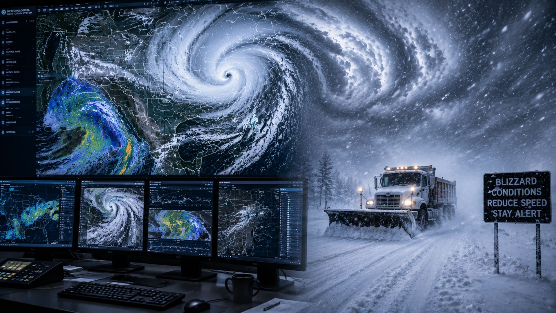

Meteorologists predict blizzards by tracking the development of winter storms and determining whether they could produce the combination of snow, strong winds, and severely reduced visibility associated with blizzard conditions. They use computer weather models, radar, satellites, weather balloons, surface observations, and other atmospheric data to forecast how a storm will develop and where the most dangerous conditions could occur.
Predicting a blizzard is different from simply predicting heavy snow. A storm does not necessarily need to produce extreme snowfall totals to create blizzard conditions. Strong winds can blow falling or existing snow across the ground, dramatically reducing visibility and making travel dangerous.
What Conditions Do Meteorologists Look for in a Blizzard?
The main concern is whether snow and wind will combine to produce prolonged periods of poor visibility. Forecasters analyze several factors, including:
- Snowfall intensity
- Wind speed and wind gusts
- Visibility
- Storm track
- Temperature
- Atmospheric pressure
- Existing snow cover
- Duration of the expected conditions
These factors are considered together because a change in just one can significantly alter the severity of a storm.
For example, heavy snow accompanied by relatively light winds may create hazardous driving conditions but not necessarily produce a blizzard. Meanwhile, moderate snowfall combined with powerful winds could create widespread blowing snow and extremely poor visibility.
How Do Meteorologists Know a Blizzard Is Coming?
The first indication of a potential blizzard can appear several days before the storm arrives.
Computer forecast models may show a strong low-pressure system developing and moving toward an area containing sufficiently cold air. Meteorologists can examine the predicted storm track, precipitation, atmospheric pressure, temperature, and winds to determine whether the system has the potential to become a major winter storm.
At longer ranges, there can still be considerable uncertainty.
A relatively small change in the storm’s track could shift the heaviest snow or strongest winds hundreds of kilometres away from an earlier forecast.
As the storm approaches, meteorologists receive more observations and updated model runs. This allows them to refine forecasts for where and when blizzard conditions are most likely.
What Tools Are Used to Predict Blizzards?
Meteorologists don’t rely on a single instrument to predict a blizzard. Instead, information from multiple observing systems is combined with computer forecast models.
Weather Models
Numerical weather prediction models are particularly important before a blizzard develops.
Weather models use mathematical equations to simulate the atmosphere and predict how conditions could evolve over the coming hours and days.
For a potential blizzard, meteorologists can examine model forecasts for:
- Low-pressure development
- Storm track
- Snowfall
- Wind speeds and gusts
- Temperature
- Atmospheric moisture
- Pressure gradients
- Timing and duration
Meteorologists usually compare multiple forecast models and successive model runs rather than relying on one prediction.
When different models begin showing similar storm tracks and conditions, confidence in the overall forecast can increase.
Weather Radar
Once a winter storm is close enough, weather radar provides meteorologists with a much more immediate picture of its precipitation.
Radar can help forecasters determine where precipitation is occurring, how it is moving, and where heavier areas of snow may be developing.
During a blizzard, radar can be especially useful for monitoring intense snow bands.
However, radar cannot provide the entire picture. Blizzard conditions depend heavily on what is happening near the ground, particularly wind and visibility. Forecasters therefore combine radar information with surface observations and other data.
Weather Satellites
Satellites allow meteorologists to monitor winter storms over very large areas.
Satellite imagery can reveal cloud patterns, moisture, and the overall organization and movement of a storm system. This makes satellites particularly valuable when a winter storm is developing far from a specific community or over areas with limited radar coverage.
Meteorologists can follow the evolution of the system and compare what is actually happening with what forecast models previously predicted.
Weather Balloons
Meteorologists also need to know what is happening above the Earth’s surface.
Weather balloons carry instruments called radiosondes through the atmosphere, measuring variables such as temperature, humidity, pressure, wind speed, and wind direction at different altitudes.
This provides a vertical profile of the atmosphere.
The information helps meteorologists determine whether the atmosphere can support snow and understand the winds and temperature structure surrounding the developing storm.
Surface Weather Stations
Surface observations become extremely important as blizzard conditions begin developing.
Weather stations can provide measurements of temperature, wind speed, wind direction, atmospheric pressure, precipitation, and other conditions.
These observations allow forecasters to compare predicted conditions with what is actually occurring on the ground.
Visibility observations are particularly important because a blizzard is defined by more than snowfall alone.
Why Is Wind So Important When Predicting a Blizzard?
Wind is one of the biggest differences between forecasting ordinary snowfall and forecasting a blizzard.
A strong winter storm can create a steep difference in atmospheric pressure over a relatively short distance. This pressure gradient can generate powerful winds.
Meteorologists therefore examine forecast pressure patterns closely.
Strong winds can pick up loose snow from the ground and carry it through the air. When this happens at the same time as falling snow, visibility can deteriorate rapidly.
In severe conditions, it may become extremely difficult to distinguish the road, horizon, nearby vehicles, or surrounding objects.
The wind can also create significant drifting, causing snow to accumulate unevenly across roads and other exposed areas.
How Do Meteorologists Predict Blizzard Visibility?
Visibility is one of the more challenging parts of forecasting a blizzard.
Meteorologists consider expected snowfall intensity alongside wind speed, snow characteristics, temperature, and existing snow cover.
Fresh, loose snow can be particularly susceptible to being lifted by strong winds.
This means dangerous visibility reductions can sometimes continue even after the heaviest falling snow has ended.
Forecast models can provide guidance on visibility and blowing snow potential, but real-world observations become increasingly important as the event begins.
Reports from weather stations and other observation networks can show forecasters where visibility has already deteriorated.
Can a Blizzard Happen Without Heavy Snow Falling?
Yes.
One reason blizzards can be misunderstood is that the term does not simply mean an exceptionally heavy snowstorm.
Strong winds can lift previously fallen snow from the ground and create severe blowing snow. If enough loose snow is available, visibility can become dangerously low even when relatively little new snow is falling.
This is sometimes associated with what is known as a ground blizzard.
For meteorologists, this means forecasting blizzard conditions requires examining both the expected snowfall and the snow already on the ground.
A storm that produces less new snow than expected could still create dangerous conditions if strong winds develop over areas covered by loose snow.
How Do Meteorologists Predict Where a Blizzard Will Hit?
The expected track of the storm is one of the most important parts of a blizzard forecast.
Different areas around a winter storm can experience very different conditions.
One region might receive heavy snow and strong winds, while another experiences lighter snow, mixed precipitation, or rain.
Meteorologists use forecast models to estimate where the centre of low pressure will travel and how precipitation and wind fields will develop around it.
As new observations become available, models are updated and the expected storm track can shift.
This is one reason the location of the heaviest snow or worst blizzard conditions can change between forecasts.
Why Can Blizzard Forecasts Change?
Blizzards are complex weather systems, and relatively small atmospheric changes can significantly affect local conditions.
A forecast can change because of differences in:
- The storm track
- Storm intensity
- Temperature
- Snowfall rates
- Wind speeds
- Timing
- Snow-to-rain transitions
- Location of heavy snow bands
Consider a community located near the edge of a winter storm.
A relatively small shift in the storm track could move that community from an area of heavy snow into lighter precipitation—or potentially into rain or mixed precipitation.
Changes in wind forecasts can be equally important. A storm may still produce substantial snowfall but have a lower blizzard risk if winds are weaker than originally predicted.
For this reason, meteorologists continually update forecasts as newer information becomes available.
How Far in Advance Can Meteorologists Predict a Blizzard?
Meteorologists can sometimes identify the possibility of a significant winter storm several days in advance.
At that stage, however, forecasts generally contain more uncertainty regarding the exact storm track, snowfall totals, wind speeds, and areas most likely to experience blizzard conditions.
Confidence usually increases as the storm approaches.
Several days before the event, forecasters may discuss the potential for a major winter storm. Closer to the event, they can begin narrowing down expected timing, precipitation types, snowfall amounts, winds, and areas of greatest concern.
Even within a day of the storm, some uncertainty can remain.
This is particularly true around the edges of the storm or in areas where small changes in temperature could determine whether precipitation falls as snow, rain, or a mixture.
How Are Blizzard Warnings Issued in Canada?
In Canada, Environment and Climate Change Canada monitors weather conditions and issues weather alerts when hazardous conditions are expected or occurring.
A Blizzard Warning is intended to alert the public when the combination of strong winds and snow is expected to produce extremely poor visibility for a prolonged period.
The precise criteria can vary by region because Canada’s climate differs considerably from one part of the country to another.
Meteorologists evaluate forecast guidance alongside observations before and during the storm. Alerts can then be updated as the expected timing, location, and severity of the event become clearer.
For the latest information during an actual winter storm, Canadians should follow official forecasts and alerts from Environment and Climate Change Canada.
Why Are Blizzard Forecasts Important?
Blizzards can make travel extremely dangerous.
Heavy or blowing snow can obscure roads, while drifting snow can make previously cleared routes difficult to travel. Strong winds and cold temperatures can create additional hazards for anyone who becomes stranded outdoors.
Accurate forecasting gives communities, transportation agencies, emergency services, businesses, and residents time to prepare before conditions deteriorate.
Road maintenance crews can prepare equipment, transportation operators can adjust schedules, and individuals can reconsider unnecessary travel.
This is why meteorologists focus not only on how much snow will fall, but also on how the snow, wind, visibility, and duration of the storm could affect people on the ground.
The Bottom Line
Meteorologists predict blizzards by looking for the combination of winter precipitation, strong winds, and severely reduced visibility that can turn a snowstorm into a dangerous blizzard.
Computer weather models provide an early indication of how a storm may develop, while satellites, weather balloons, radar, and surface observations provide real-world information about the atmosphere. As the storm gets closer, meteorologists continually compare these observations with updated forecasts.